The nature reserve
Green, greys and ochres
Where the rambla is, how the Roca Parda and the Roca Roja were formed, and why the landscape changes completely when it rains.
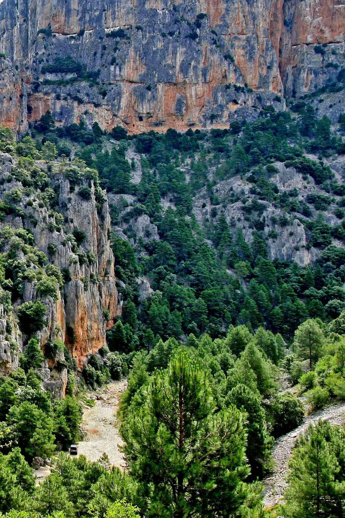
The Rambla Celumbres Municipal Nature Reserve lies in the Els Ports region of Castellón. It takes in parts of the municipalities of Castellfort, Portell de Morella and Cinctorres, and with 1,194.40 hectares it is one of the largest municipal nature reserves in the Valencian Community.
Some 10,000 different plant species are thought to grow here, of which 6,500 are native and 1,500 endemic. Wildlife is abundant too: invertebrates, vertebrates and microorganisms.
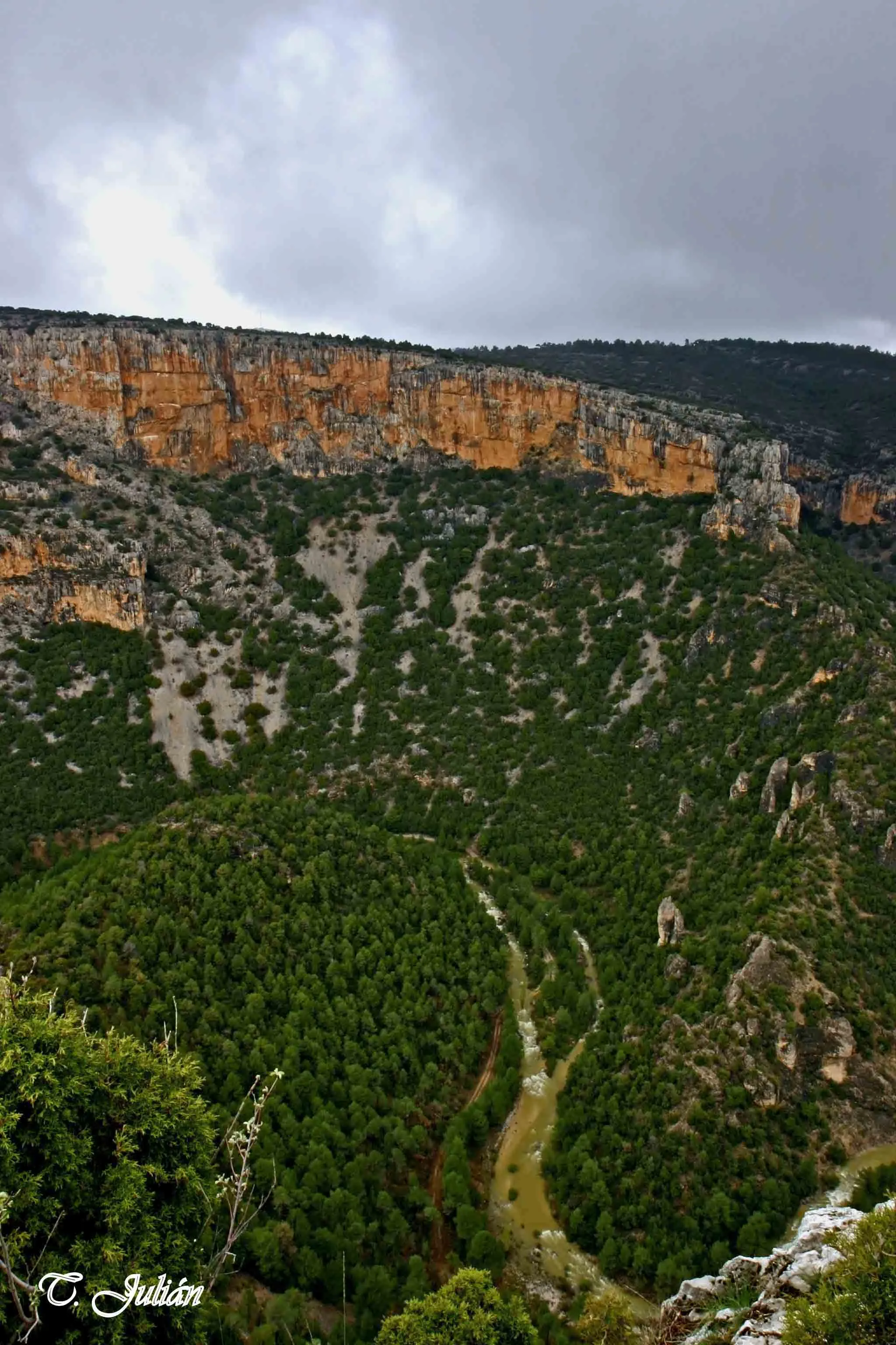
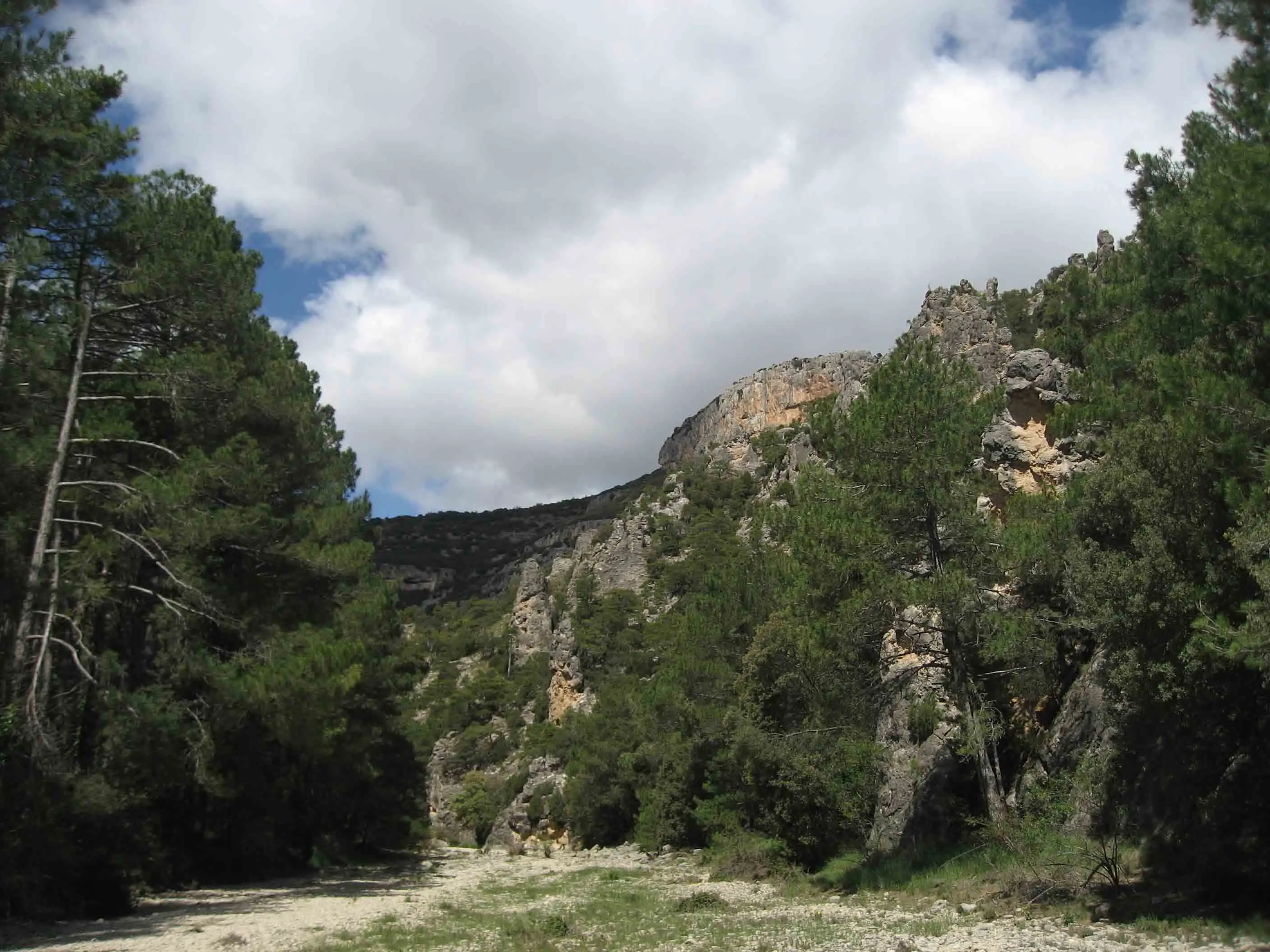
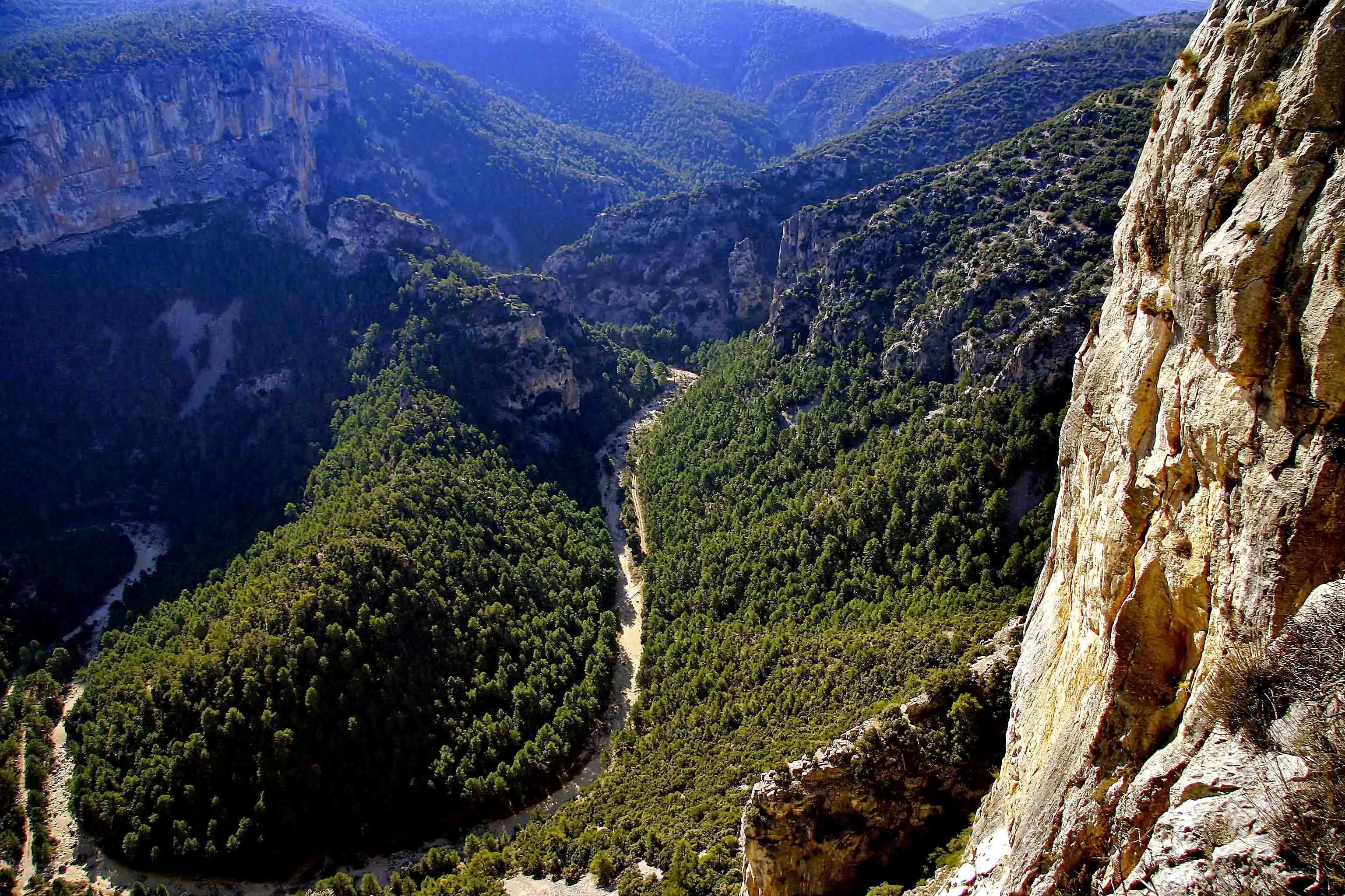
To appreciate how sheer the Roca Parda and the Roca Roja are, there is nothing better than approaching them along the Rambla Celumbres. This rambla rarely carries water, but when it rains the landscape is quite unlike the one we are used to seeing: the greys and ochres of the rocks shine, the green of the trees is luminous; nothing like when everything is dry and scorched by drought and sun.
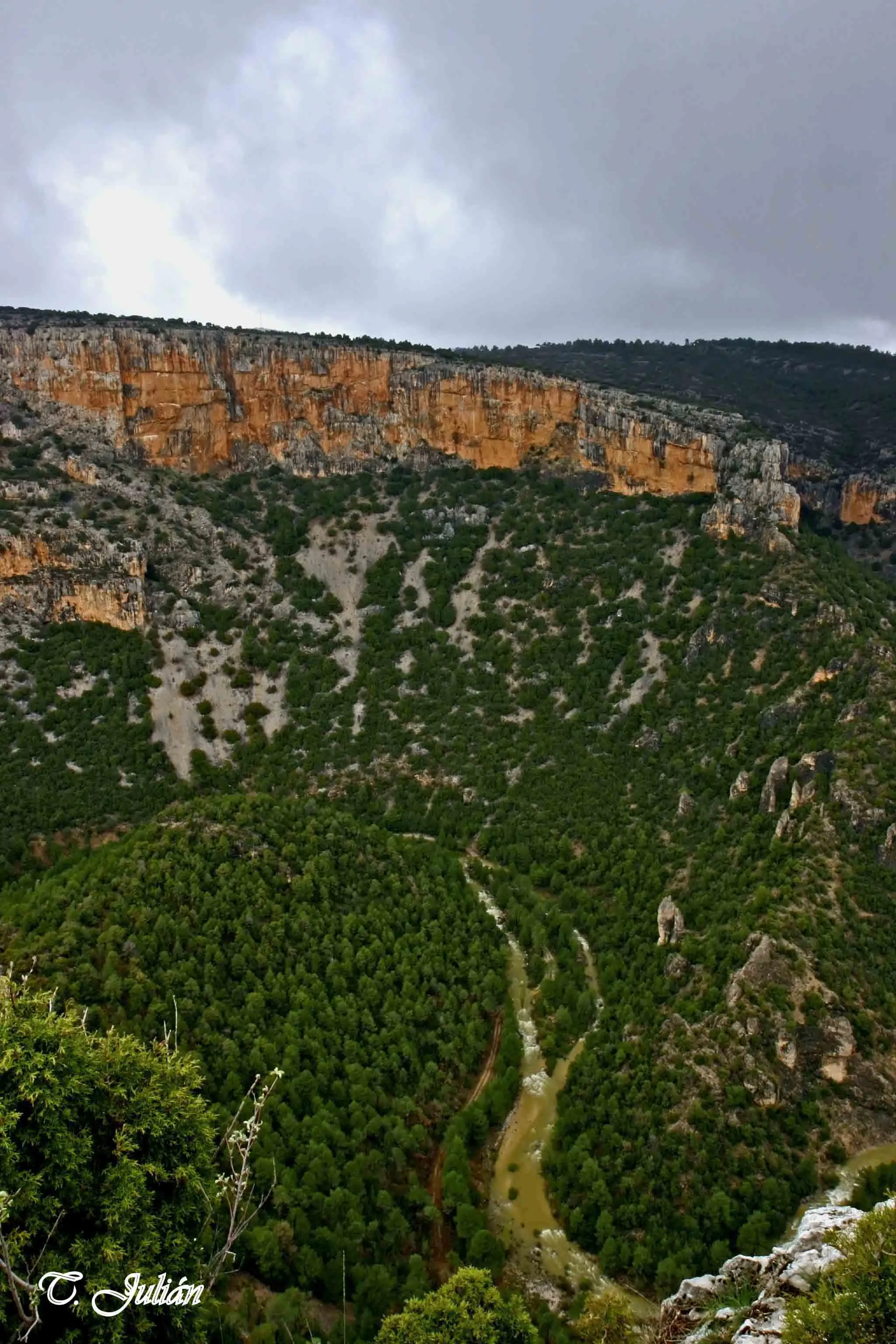
The oldest materials in the area, from the Jurassic and the Tertiary, are found in the Rambla Celumbres. Its formation is rocky, of calcareous dolomites: fluids rich in magnesium seeped into them and transformed them chemically, losing calcium carbonate and gaining magnesium. The erosion of its visible materials and their sedimentation are the gravel, sand and clay that its waters carry along.
The right-hand side, the Roca Roja, belongs to the municipality of Portell, and the Roca Parda, on the left, to Cinctorres.
Where it is
The municipal nature reserve (dashed green line), the bed of the rambla, the Roca Roja and the Roca Parda, the terraces of l’Arribassada and the dels Bassis spring. Names in italics link to their guide.
More in The rambla
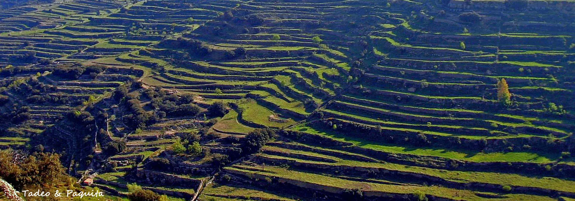
See the whole sectionDry-stone walls and shelters
The terrace walls and huts that the people of this land raised with the only raw material they had to hand, stone, and which are now part of the landscape.
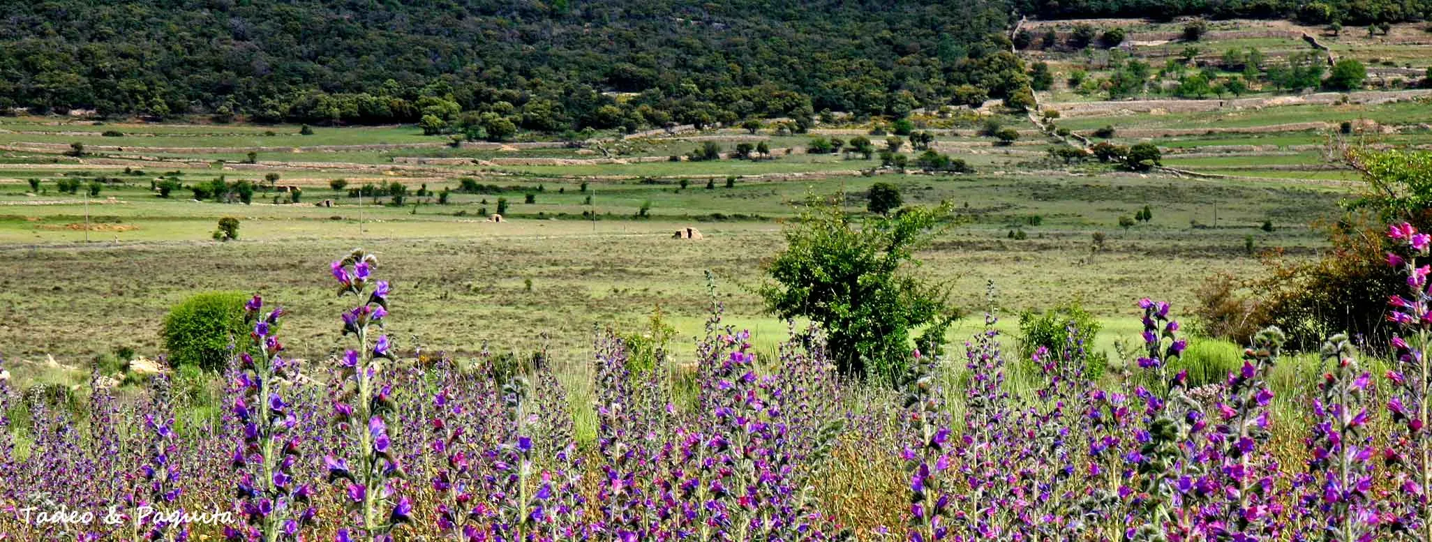
Spring
The first green
The plants that have overwintered wake up, the almond trees cover the fields in white and pink, and every few days the colours change.
Summer
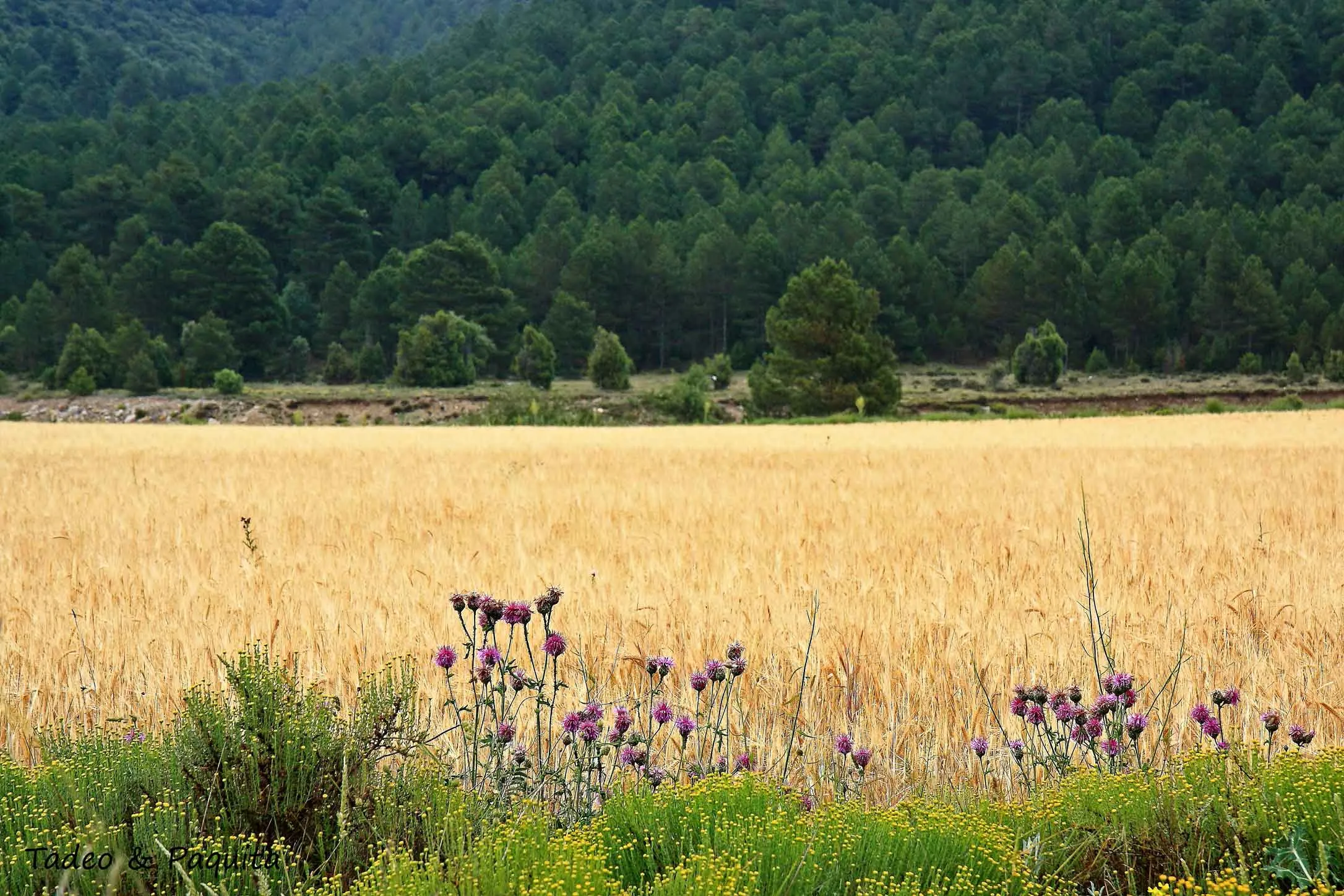
Harvest time
The region has always grown cereals. The solstice marked the high point of the harvest; today the combine does in an afternoon what once took weeks.